Mud, Sweat, and Data.
8 July 2024

Recently, we were asked for help with tree planting for a bush regeneration project. This request was unique because we'd completed the planting a few weeks before. What was needed now was information, not labour, highlighting a unique service we offer at Forestme.
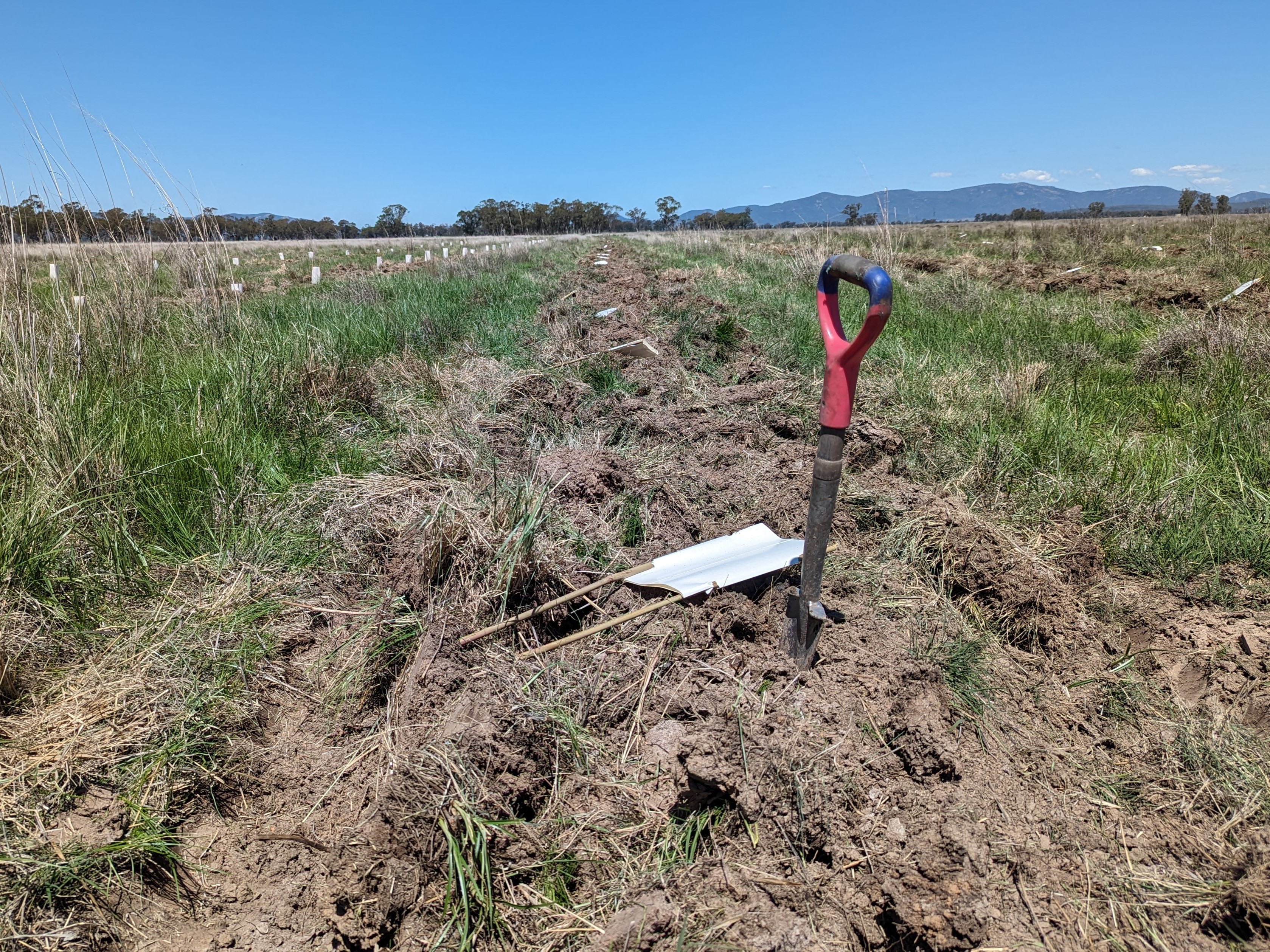
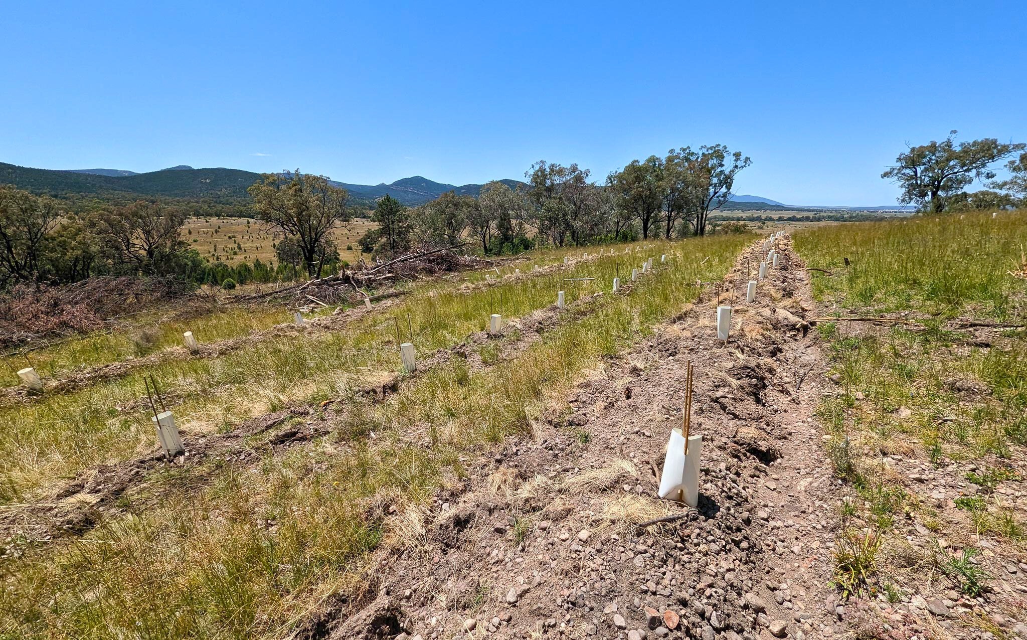
For context, the project aimed to plant 20,000 tubestock [a mix of native trees and shrubs]. However, we only received half of the plants due to a delivery issue. The remaining stems would need to be installed at a later date. After the planting, the area received a ton of rain, which presented numerous challenges. Vehicle access was difficult because of wet, boggy ground conditions. Old site preparation, long grass, and small saplings made locating the plants difficult. This wasn't an issue during installation, but accessing the site for checks before the following stages would be challenging. To save time and effort for the crew returning for watering and spraying, we wanted to give a detailed report to streamline the process of finding the newly installed saplings.
Given that the entire area could not be completed, we needed to know exactly which sections were planted and which were not. This information was necessary for watering, monitoring the plants, and planning the completion of the remaining areas. This situation was a prime example of why we collect planting data. We use watches with strong GPS capabilities to track planting routes. These routes create a trail, but instead of breadcrumbs, think saplings.

We also conduct random planting checks, which include photos of the plants, GPS coordinates, soil type, ground conditions, and moisture levels [at the time of planting]. These checks, typically done once for every 100 plants, help us monitor our planting quality and demonstrate how we distribute certain species throughout the site.
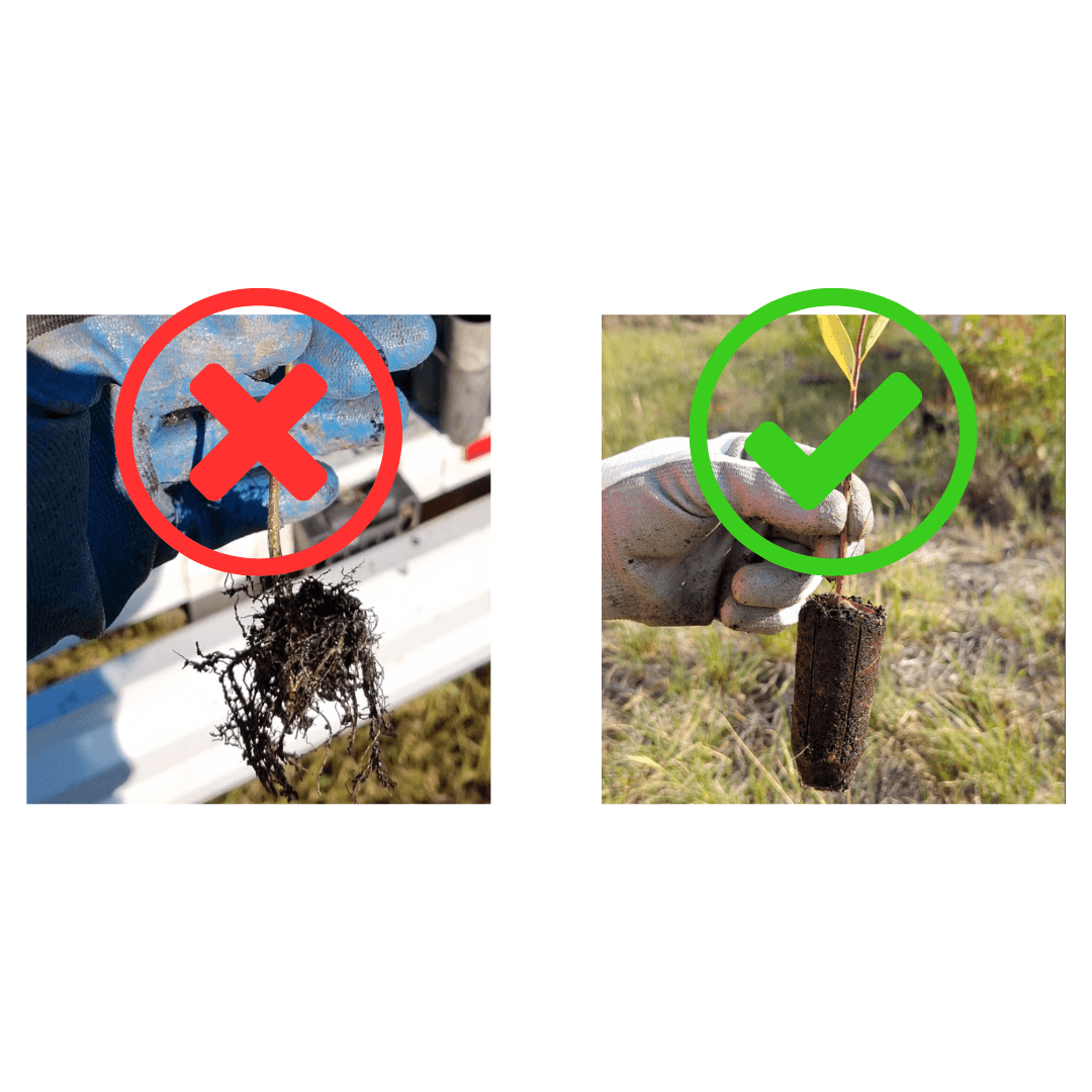
We can analyse the photos to ensure the saplings are in the correct spot and installed at the appropriate depth, angle, and compaction. We want to provide the plants we install with the best chances for survival. These checks allow us to identify issues early and make the necessary corrections.

We create detailed maps showing area sizes and planting densities using GPS routes. These maps provide the exact path of all plants and rip lines, making future monitoring easier. Additionally, we can calculate the remaining unplanted area and determine how many plants are needed to complete the project based on the calculated planting density. Combining the quality plot and route data, we can show the type of ground conditions, soil types, and moisture levels throughout the site.

Our mapping also highlights areas that could not be planted due to obstacles like established trees or boggy conditions. This level of detail is usually not included in tree planters' reports, but we love creating a clear picture of the area. Another unique aspect of our service is the ability to identify and report potential hazards in the planting area. Helping to ensure the safety of those caring for the plants.
We've always believed that a tree planting service could offer more, so we're delighted to not only install the plants but also create valuable information that will streamline the process for the following stages of the regen project.
Finding ways to improve tree planting is what drives us. So, if you find this interesting or have any ideas on how we can do it better, please let us know.
How We Solved a “Sticky” Situation
18 Jan 2024

Guard Wars - The Epic Battle for Most Efficient
13 Jan 2024

Hey! There’s Something Growing On Your Wall
11 Jan 2024
What's Wrong With Permaculture?
9 Jan 2024
Ever Heard Of Solarpunk?
6 Jan 2024
This Simple Tech-Hack Helps Us Plant More Trees, and It’s Not What You Think
4 Jan 2024

Quality or Quantity? At Forestme, We Say: Why Not Both?
15 Sept 2023
The Simple Mantra Of Great Tree Planters
1 Jan 2024
How We Planted and Guarded 105,000 Trees with Just 3 People (And Yes, We're a Little Crazy)
29 Dec 2023
Transforming an Industry Through Passion and Innovation
8 Aug 2023
The Psychological Benefits of Green Work: Insights from Forestme's Team
12 Oct 2023
Bridging the Gap: Integrating Traditional Planting Methods with Modern Technology
10 Nov 2023

Enhancing Tree-Planting Efficiency and Safety through Heart Rate Monitoring
1 Dec 2023